Astronomic Azimuth Class
November 13-16, 2012
Instructor: Dave Lehman
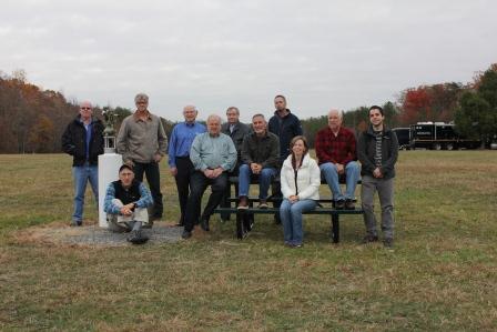
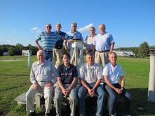
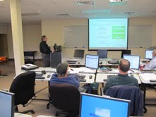
2012 Class picture
This course is intended for experienced surveyors.
For information contact Erika.Little@noaa.gov.
Tuesday, November 13
Afternoon Session:- Administrative Comments (Corbin Training Staff)
- Course Introduction
- Definition of azimuth and methods for azimuth determination
- Equipment & Field Procedures
- Data capture and time synchronization
- Preliminary computations & star lists
- The Night Sky: Constellation and Star Identification
- Application of Field Procedures and Observations
Wednesday, November 14
Afternoon Session:- Star catalogs, celestial coordinates, measurement of time
- Computation of Astronomic Azimuth
- Field Observations
- Focus on azimuth determination at mid latitudes using "Polaris"
Thursday, November 15
Afternoon Session:- Comparison of Astronomic and Geodetic Reference frames
- Earth Orientation with relation to Geodetic Datums
- Precise geodetic considerations; Laplace Corrections, "Skew Normal"
- Discussion of azimuth determination at different latitudes
- Southern Hemisphere
- High/Low Latitudes
- Latitudes near the Equator
- Comparison of methods/procedures
- Hour Angle
- East-West Stars
- Solar Azimuth
- Presentation by Dr. Ron Gallagher
- Field Observations
- Focus on alternate observation routines
Friday, November 16
Afternoon Session:- Analysis of field work & computations
- Precision and Error Analysis
- Introduction to advanced topics:
- Simultaneous Determination of Astronomic Latitude, Longitude, and Azimuth
- Determination of deflection of vertical by direct observation
- Reliability of current data and systems
- Field Observations
- Course Wrap-Up & Evaluation
- Administrative Comments (Corbin Training Staff)
- Presentation of Training Certificates
Class Structure:
- Afternoon Sessions: 10:00 am - 4:00 pm
- Dinner Break: 4:00 pm - 5:00 pm
- Evening Sessions: 5:00 pm (or sundown) - Completion of Work
Equipment for field observations and office computations will be available on site provided by the Corbin Training Center. Participants are encouraged to bring their own surveying equipment. Participants are also encouraged to bring a computer, laptop, USB to serial adapters / drivers and serial interface cable(s). Available software interfaces should be compatible with the following: Leitz/Sokkia, Pentax, Nikon, Topcon, Wild/Leica (some models), Zeiss/Trimble. Some equipment manufacturers may be on hand to demonstrate available equipment. (Note: NGS does not endorse or recommend any specific manufacturer or company.)
